Development of our own applications helps us to maintain our market leadership

Construction digitalization

By financing and creating cutting-edge information systems or tailor-made add-ons, we increase the efficiency of our own business and propel the entire industry forward.

Employee development and growth

We are giving our current and new employees the opportunity to develop their skills in the latest building design practices, which allows them to grow professionally.

Designer tool support

Our mission is to increase productivity and efficiency in designing road and rail infrastructure and civil engineering industries. These different areas of production and non-production tools are supported by our own development of add-on or stand-alone applications. This combination of knowledge, many years of experience in various design disciplines, and our own development capabilities enable us to create a range of useful tools that make our designers' daily work much easier. Most of the BIM design applications used in the group come from abroad and require the addition of missing functionality which is necessary for the Czech or Slovak environment.

Information systems and unique SW solutions

Our engineers and other experts have the chance to influence the appearance, behavior, and functionality of individual applications due to their connection with the development teams, without depending on the main vendors’ implementation decisions. Besides the support of design tools, we are also dedicated to the development of highly specialized applications and information systems, which include tools for processing property law cases or the fields of geodesy and geotechnics. These unique solutions are not only used by our colleagues from the SUDOP group, but also by external customers like investors or contractors.

Information systems and unique SW solutions

Our applications

MAJA

MAJA

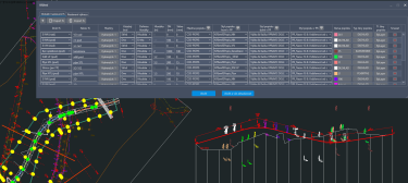
This is a web application for the management and support of property management activities on new or existing transport and technical infrastructure structures. The application serves as a common environment for the work of all parties involved (investor, mandator, property owner, designer, expert, lawyer) and the entire system handles the processes of contracting, supervision, and real-time control of the current status of preparation. Additionally, the map window brings greater clarity and speed in resolving property relations. Access to the application can also serve investors or contractors for continuous monitoring of performance and for mutual communication.

Development: GMtech

SG Bridge

SG Bridge

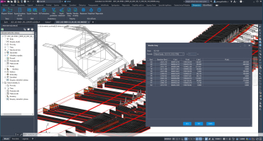
An add-on application (plugin), the Autodesk Revit software solution allows architects, engineers, and designers to work in a unified modeling environment. The SG Bridge plugin adds functionality to the tools used to design and model concrete bridge structures and export them to structural analysis programs. This plugin is physically installed on a computer running Revit.

Development: cadconsulting

Collaboration: Dopravoprojekt Brno

Collaboration: PUDIS

SG Civil 3D

SG Civil 3D

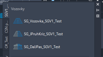
The road design tools on the Autodesk Civil 3D platform (SG Civil 3D) complement and extend the existing functionality of Autodesk Civil 3D, which serves as the primary software for road design. Within these tools, so-called subassemblies or composite elements of road sample cross-sections, e.g. lanes, pavements, drainage elements, etc., are developed for design companies to support the design of roads and motorways according to Czech and Slovak standards. Based on feedback from users, additional compositional elements will be gradually developed and added to the library.

Development: cadconsulting

Collaboration: Dopravoprojekt Brno

Collaboration: PUDIS

Collaboration: Metroprojekt

SG Bentley Dataset

SG Bentley Dataset

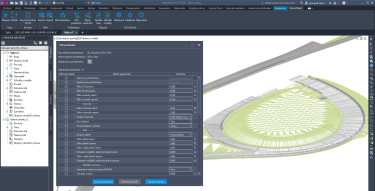
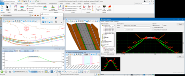
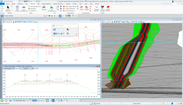
Sets of configuration files, settings, and tools to facilitate road and railway designers to create projects according to Czech and Slovak customs and national standards, focusing on the customs and standards agreed upon within the SUDOP Group. These configuration and definition files are specifically designed for the Bentley OpenRoads and Bentley OpenRail Designer range of design applications. The use of the SG Dataset is based on and requires the "CZ Dataset" standard supplied by Bentley Systems. Functionally, the SG Dataset compliments the CZ Dataset.

Development: BIM Consulting

Development: iNGs

Collaboration: SUDOP PRAHA

SIISEL

SIISEL

An information system for monitoring and evaluation of geodetic measurements for underground structures, railway infrastructure, and roads. Information is only made available only to authorized users, online, in the environment of a clear web application, and the progress of the construction can be instantly monitored and potential risks can be immediately identified. Management, archiving and export tools for measured data are also an integral part of the application. With geomonitoring and its timely evaluation, it is possible to minimize the risk to human safety, and the disruption of construction work and limit the impact on the environment.

Development: LinkSoft

Collaboration: PUDIS

Collaboration: GeoTec-GS